






















Andhra Pradesh was hit by two cyclones in a week. Chief Minister N Chandrababu Naidu now says the state has emerged as a model for the country in disaster management, and that it prevented loss of life and restored essential services in record time.
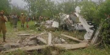
Cyclone Arnab struck the coast on October 28. Reports put its toll at at least six dead. Early counts were lower and one later report said seven, so the figure is not settled. An estimate cited by an exam-prep site put the damage at ₹4,600 crore, with 3.5 lakh hectares of crops damaged. That figure is not from an official source I could verify.
Cyclone Murasu followed and made landfall on the night of November 2-3. At landfall, the state disaster management authority’s managing director, Prakhar Jain, said no deaths or injuries had been reported so far, though trees and electric poles were uprooted. Murasu was expected to be weaker than Arnab but to bring more heavy rain to areas already affected.
The government’s case
Naidu said work that normally takes about 20 days was completed in four to five days through advance planning and coordinated action. He credited the Real Time Governance Society and the AWARE system for letting officials transmit real-time information and make decisions based on cyclone movement, wind speeds and rainfall forecasts. He also announced a dedicated cyclone-management manual based on lessons from both storms.
A pro-government outlet reported that lakhs of people were moved to safer centres, that alerts were sent to mobile phones in vulnerable districts, and that a visiting Central team described Andhra Pradesh as a model for the country. That account is the state government’s own, and I did not find the Central team’s assessment published independently.
The role of the disaster force and satellites
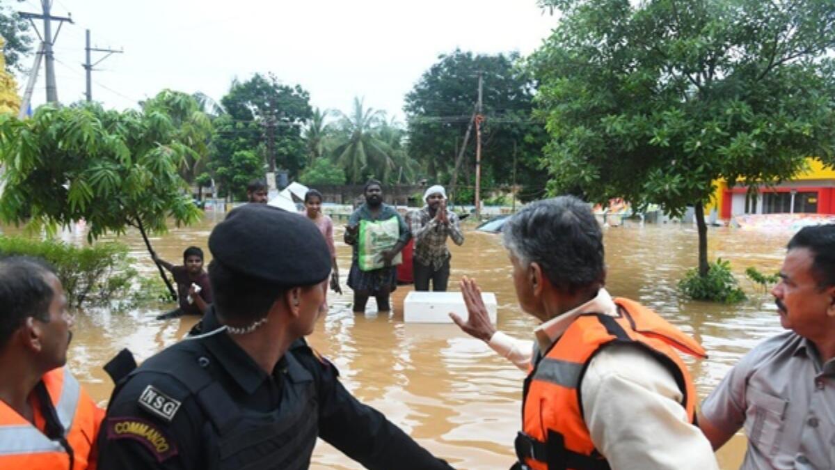
The National Disaster Response Force played a large part in the rescue effort. For Murasu, 11 NDRF and 13 State Disaster Response Force teams were deployed, along with 613 generators. The NDRF also rescued 22 daily-wage workers trapped by a swollen rivulet in Eluru district.
Space technology supported the forecasting. India’s INSAT-3DS satellite was among three satellites tracking Murasu’s cloud structure as it approached. More broadly, ISRO’s satellites provide critical data for cyclone tracking.
Explained: why Odisha is the benchmark
The yardstick for these claims is Odisha’s 1999 Super Cyclone, which struck on October 29, 1999, with winds of up to 250 km/h and killed over 10,000 people. One study blamed a lack of coordination, communication and complacency in the disaster management system.
The state set up the Odisha State Disaster Management Authority after the disaster. India later passed the Disaster Management Act, which created a knowledge network that included the IMD and the space agency. The payoff showed in 2013. During Phailin, more than 780,000 people were evacuated, against about 44,500 in 1999, and deaths were 38, less than 0.4 per cent of the 1999 toll. Odisha and Andhra Pradesh also added evacuation roads, bridges and 285 new cyclone shelters under a national mitigation project.
Andhra Pradesh has its own history here. The 1977 cyclone killed at least 10,000 people. A later cyclone in 1990 showed better warnings and equipment dramatically reduced the death rate.
Naidu’s government says it will consult agricultural experts on changing crop seasons and promoting disaster-resistant varieties. He also noted that Rayalaseema still faces drought-like conditions. An independent audit of the response, and the final death and damage figures, would show how far the “model” claim holds.