
Being aatmanirbhar in every aspect is the most significant catalyst of a country’s advent to the superpower status. Think about it. If a country is dependent on others for even a basic need, such as a navigation facility, it is vulnerable to the whims and fancies of others. That’s the reason a counter for American GPS was needed, and Indian NavIC is rising to the need.
Government in talks for acceptance of NavIC
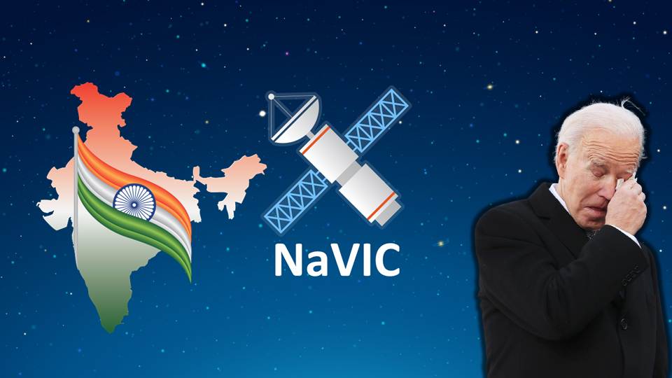
According to reports available in the public domain, the Modi government is nudging smartphone companies to adopt a more desi version of GPS. The government wants every smartphone sold in India to include India’s own Navigation with Indian Constellation (NavIC). Earlier reports had showed that the government wants these companies to start using NavIC by as soon as January 2023.
However, various smartphone manufacturing companies have criticised the date as being too soon. If companies are to be believed then installing NavIC requires more research and time. Samsung is one of the most vociferous opposer of the deadline.
Samsung stated that the new installation will result in additional costs during a closed-door meeting between top smartphone players and chipmakers with Indian IT ministry and space agency officials. Samsung’s worries stem from the fact that it has already prepared a list of smartphone models to be launched by 2024.
Not a fixed deadline though
Meanwhile, the Centre has come up with the clarification that the possible date quoted in Reuter’s exclusive report is not true. In a tweet the Ministry of Electronics and IT said, “A media report has claimed citing a meeting that mobile cos were asked to make smartphones compatible with NavIC within months. This is to clarify: (1) No timeline has been fixed. (2) The cited meeting was consultative; and (3) the issue is under discussion with all stakeholders”,
A media report has claimed citing a meeting that mobile cos were asked to make smartphones compatible with NavIC within months. This is to clarify: (1) No timeline has been fixed. (2) The cited meeting was consultative; and (3) the issue is under discussion with all stakeholders.
— Ministry of Electronics & IT (@GoI_MeitY) September 26, 2022
These kinds of delays are normally technical conundrum, and generally Companies do it because they are quite cautious in adapting to change. Given that India is the second largest smartphone market in the world, sooner or later, with the chances of the former being high, companies will soon join the bandwagon. Apparently, this feature needs to tinker with their existing manufacturing models and being more specific to India and Asia.
NavIC’s implementation was delayed
Apparently, this feature is the hallmark of India’s NavIC. The concept of India’s own Navigation system first came to public domain in 2006. The project was approved first by Manmohan Singh government in that year itself. It was supposed to be completed and implemented by the year 2015-16. However, the UPA government’s lethargicness pushed the project on the backburner. Apparently, the infamous policy paralysis impacted such a project of national importance as well.
In 2013, IRNSS-1A, first of Indian Regional Navigation Satellite System (IRNSS) was launched one year before the election year. The project really got its momentum after the Modi government came to power. By 2016, the IRNSS-1G, the seventh and final satellite was launched into orbit.
Out of 8 satellites, 3 are placed in Geostationary orbits, while the other five are placed in Geosynchronous ones. By April 2018, the constellations of 8 satellites were deployed in Earth’s orbit. All 8 satellites were aimed at freeing India from its dependence on American GPS.
NavIC: Better than American GPS for India
In many ways, India’s own NavIC is better than American GPS. While American GPS provides accurate measurement upto 20-30 metres, India’s NavIC is accurate up to 5 metres. This gap is a defining characteristic of the effectiveness of a military offence. A hellfire missile accurate upto 5 metres will only kill the terrorist, whereas a 20-30m accuracy can also damage civilians existing in terrorists’ vicinity.
Given the fact that still there are traces of domestic terrorism in the form of Naxals and other anti-India elements, this precision will be game-changing. An encrypted version of NavIC is used by Indian forces and other officials. Now they do not need to rely on American satellite imagery as they did during the Kargil war, only to be backstabbed by them.
Enabling the implementation of Nirbhaya Case mandates
Apart from the official use, the 5m accuracy is also available to a certain percentage of civilians. In 2020, the Modi government had made it mandatory to use the NavIC system in commercial vehicles. This was done in order to protect the dignity and integrity of women travellers. NavIC’s live pictures of a particular location is also one of the reason behind it being chosen as facilitator of the key mandate of Nirbhaya Case verdict.
Yes, currently, if you use google GPS, its pictures are frozen. For instance, American GPS has captured an image of a barren land in 2018. The problem is that, even today American satellites will show that the place is still barren, even though a mini city consisting of 100s of apartment buildings maybe there. There is no such problem with India’s NavIC.
Range is the problem
But, yeah, NavIC is not better than GPS in every aspect. It has its deficiencies as well. Currently, its range is one of the biggest factor why companies are sceptical about graduating themselves to NavIC. Yes, it does cover minute details of India’s geography, but beyond that its range is limited to cover areas only under the radius of 1,500 kilometers.
This range is good enough to cater to India’s regional security concerns in Asia and a few 100 kilometres beyond. The main concerns for India in Asia are China and Pakistan. Strategic location of both these countries fall under NavIC’s range.
Moreover, an extended service area lies between the primary service area and a rectangle area enclosed by the 30th parallel south to the 50th parallel north and the 30th meridian east to the 130th meridian east. In other words, if needed the NavIC system can get activated to track stuff in the range of 1500-6000km. However, these facilities are subject to circumstantial needs and are not available 24 hours and 7 days.
The problem stems from the fact that the number of satellites under NavIC is quite less compared to the American GPS. American GPS has 32 satellites in its constellation while our NavIC has only 8. The government has planned to expand the number of satellites to 11, but that will solve only half of the problems. Covering the whole globe is not such an easy task and countries which already have their own navigation systems are facing it.
Also Read: GPS is all set to be replaced by India’s very own ‘NavIC’ technology
Statement of aatmanirbharta
Currently, other than India, only 4 geographically sovereign territories have their own navigation systems. The European Union has Galileo, the US has GPS while their rival Russia has GLONASS. Russia’s friend China has BeiDou. Apart from American GPS, no other navigation system has been able to occupy a prominent place in the domain. Making their use compulsory has not brought the desirable change as well. Russians know it better than anyone else.
But making it mandatory is a statement of sovereignty. It tells America that they can’t hold other countries hostage and make them succumb to its whims and fancies. Russia is able to trouble American only because it’s navigation system is aatmanirbhar. Companies operating in India should also fall in line and contribute towards India’s attmanirbharta.
Support TFI:
Support us to strengthen the ‘Right’ ideology of cultural nationalism by purchasing the best quality garments from TFI-STORE.COM
Also Watch:
