You would be often told that India and China went to only one war in the past six decades in 1962, and China won it. This is also the reason why many armchair experts often end up creating a false perception of Chinese military superiority. However, the reality is that India and China went to two wars. The little-known 1967 war took place at Nathu La and Cho La in Sikkim. India humiliated the Chinese PLA in this war and the 1967 war is the reason why Sikkim slipped out of Beijing’s hands. Now, China is setting itself up for another Nathu La moment in India’s state of Arunachal Pradesh.
Recent Arunachal clashes:
Last month, the Chinese People’s Liberation Army (PLA) troops got engaged in an intense face-off last week in which around 200 PLA soldiers were intercepted close to the Line of Actual Control (LAC). However, this misadventure of China ended in great shame. According to News18, a few troops from China were temporarily detained by Indian soldiers in Arunachal Pradesh’s Tawang after around 200 of them crossed over into the Indian side from Tibet and attempted to damage unoccupied bunkers.
The Arunachal Pradesh incident took place between the border pass of Bum La and Yangtse, close to the Line of Actual Control (LAC). Indian troops “strongly contested” the Chinese soldiers’ incursion into Indian territory. It would not be an overstatement to say that by a strong contestation, the highly placed Indian defence sources meant that physical blows of Indian soldiers landed squarely on Chinese cheeks, forcing them to retreat to their side of the border.
The Chinese are usually quite vocal about their illegitimate claims over India’s state of Arunachal Pradesh and call it ‘South Tibet’. However, the October face-off was limited to a particular geographical feature- a key Indian peak situated at an altitude of 17,000 feet high that offers a vantage view on both sides of the Indo-Tibet border.
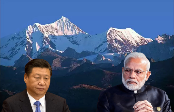
The 17,000 feet high peak unnerves the PLA:
As per The Tribune, sources confirm that the 17,000 feet high peak located in Arunachal Pradesh has been the target of the Chinese PLA. Even the recent scuffle between the Indian Army and PLA troops took place when the Chinese came too close to one of the access routes of the Indian Army to the top of the peak at an area called Yangtse, which is located 35 km Northeast of the town of Tawang.
The Chinese attempt to obstruct the Indian Army’s access to the top of the strategically located peak failed embarrassingly. Now, the entire area has been covered by snow and will remain as such till March.
The peak is so crucial that both the Indian Army and the PLA have deployed 3,000-3,500 men on either side of the Yangtse area. Unmanned aerial vehicles and long-range sensors too have been pressed into service for ensuring proper surveillance in the region.
Both sides have built a network of roads and tracks along the Line of Actual Control (LAC) to counter patrols by the opposite side. However, India remains in firm control to the top and its access routes from its side. China despite all its efforts is being deprived of access to the peak that offers a vantage view of Tibet from India’s side.
Both India and China conduct patrolling up to their perception point of the LAC. When troops from both sides meet physically in a region that falls in the differing perceptions of LAC, they end up clashing with each other and such face-offs are resolved through established mechanisms and protocols. However, it is India, which remains in control and occupies a commanding position in the Yangtse area and this infuriates the Chinese.
In case, the push comes to shove in the Yangtse area, the Indian Army will have a huge tactical advantage over the Chinese PLA, which would allow it to dominate the Chinese troops.
